
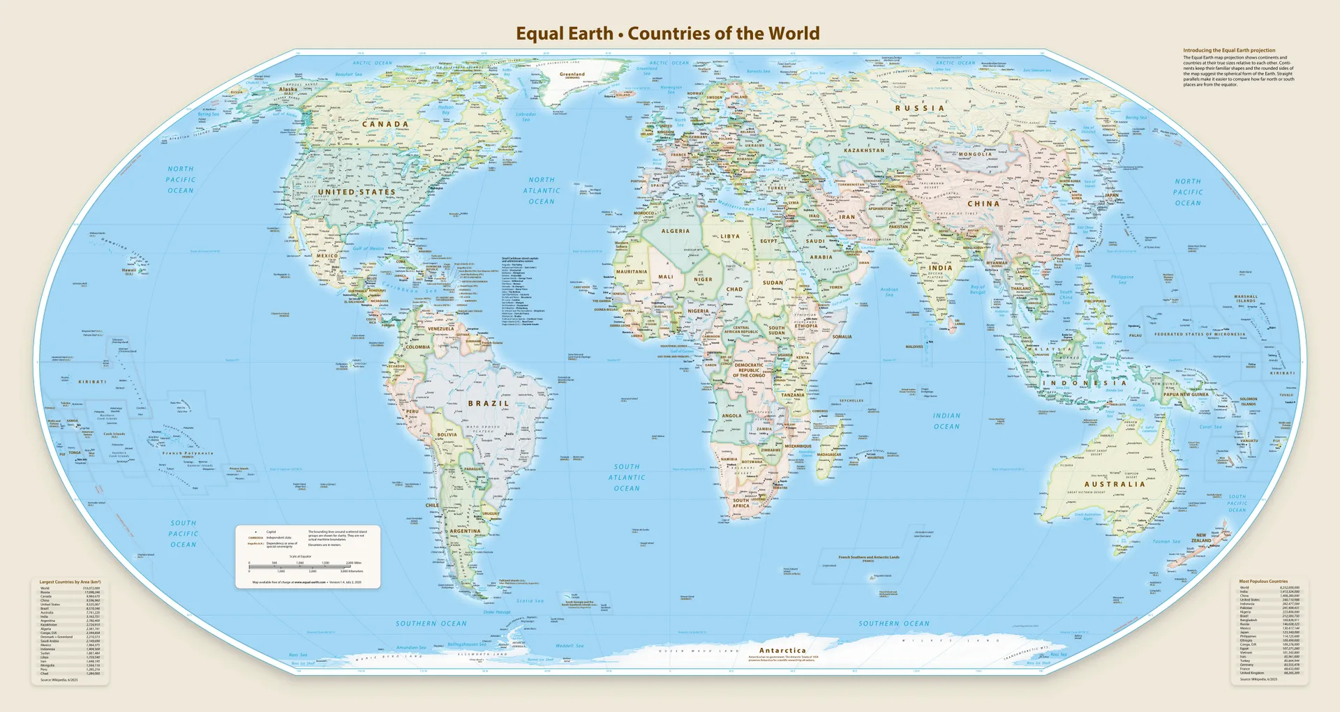
African Union has proposed a resolution to UN to replace the Mercator map with Equal Earth map, which represents countries’ sizes more accurately.
The resolution passed with 164 in favor, 1 against, 6 abstained.
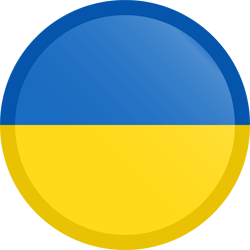
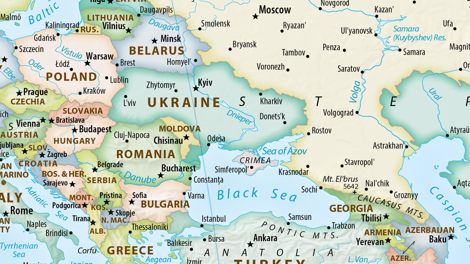
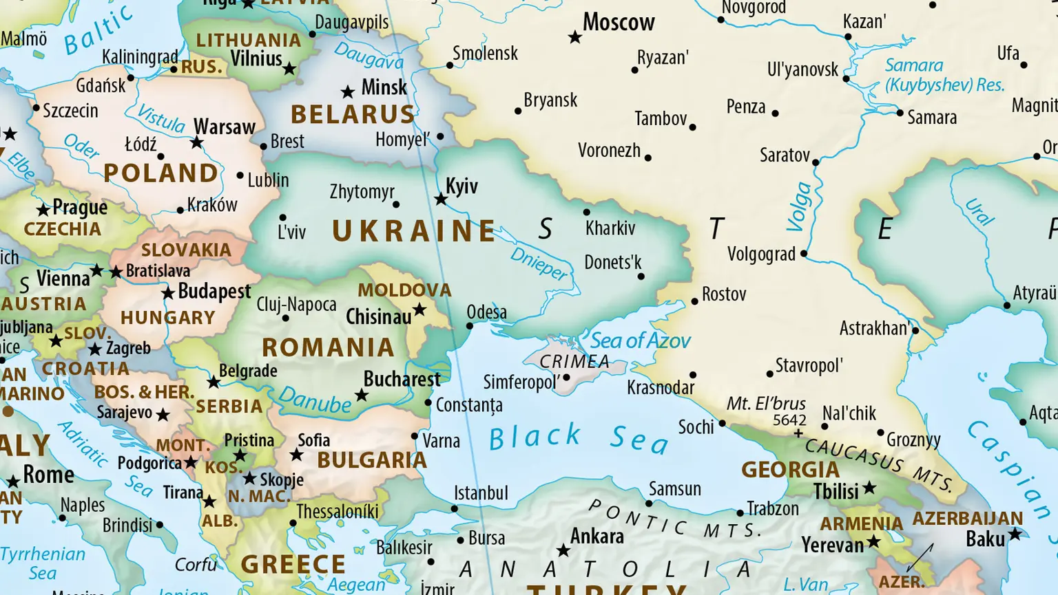
One of the countries that abstained is Ukraine, as the proposed map had Crimea marked as neutral territory.
It’s a pretty terrible map.
Skew is still too high in the north and south, I get the “true size of africa” argument (yes I watched that West Wing episode — it’s fine to replace maps used for maritime navigation, but I don’t like this projection either.
I only really support globes and local projections.
It is indeed bad and inaccurate.
I bet they only chose it because it looked similar enough to Mercator, unlike Dymaxion or other options.
People really hate change, friction, and doing something in a new way, even as small as using a different map.
So they settled for Equal Earth map as a compromise, because it’s a slight incremental improvement over Mercator, rather than a fully new thing.